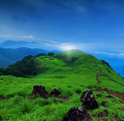
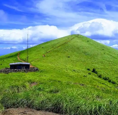
Paithalmala
Nestled in the Western Ghats, the peak Paithalmala is a wonderful destinations for those who like trekking. The trek takes you through dense forests and opens up to a wide expanse that goes to the Paithalmala peak. Trekkers also can have a dip in the cool waters of Ezharakundu Waterfalls on the way. One of the highest peaks in Kannur which is about 4500 ft above sea level.
How To Reach
To reach Paithalmala from Kannur Airport, you can follow the route below:
- Exit Kannur Airport and head southeast on the Airport Road.
- At the first roundabout, take the second exit to continue on Airport Road.
- Drive for approximately 4.5 kilometers and then turn right onto NH66 (National Highway 66).
- Follow NH66 for about 22 kilometers until you reach Thavakkara Junction.
- At Thavakkara Junction, take the second exit to stay on NH66 and continue driving south.
- Continue on NH66 for approximately 8 kilometers until you reach Chala.
- At Chala, take the second exit at the roundabout to continue on NH66.
- Drive for about 17 kilometers on NH66 until you reach Iritty.
- In Iritty, turn right onto the Iritty-Kottiyoor Road (also known as Keezhur-Valliyoorkkavu-Paithalmala Road).
- Follow the Iritty-Kottiyoor Road for about 25 kilometers until you reach Kudiyanmala.
- At Kudiyanmala, continue straight onto the Paithalmala Road.
- Drive for approximately 9 kilometers on the winding Paithalmala Road until you reach the base of Paithalmala.
Please note that road conditions and traffic can vary, so it's advisable to use a GPS navigation system or a map for real-time directions.
Altitude
5000 ft.
Other Destinations
View All-
Paithalmala
Nestled in the Western Ghats, the peak Paithalmala is a wonderful destina...
-
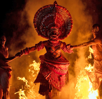
Theyyam
Theyyam is a traditional ritualistic performance art form that originated...
-

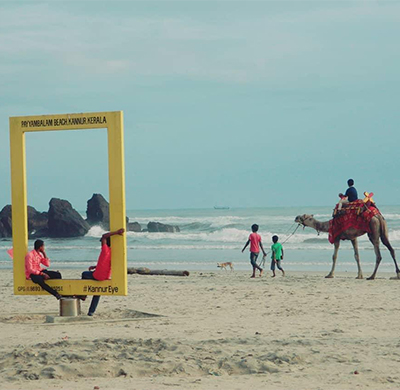
Muzhappilangad Beach
Explore Asia's longest drive-in beach...
-
Arakkal Museum
Discover the grandeur of Arakkal Museum...
-
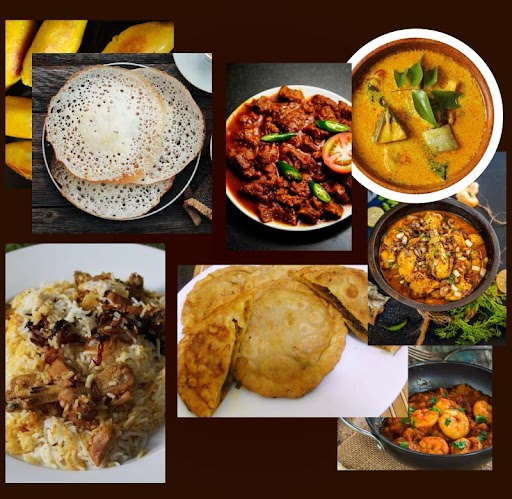
Malabar Cuisine
Indulge in the authentic taste of Malabar...
-
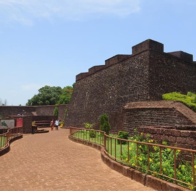
St. Angelo Fort
Experience the triangular laterite fort...
-
Payyambalam Beach
A perfectly maintained destination in Kannur...
-
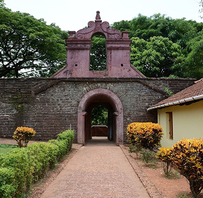
Thalassery Fort
One of the most important European trading centers of Kerala....
-
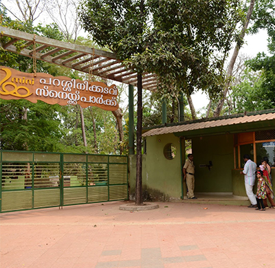
Parassinikkadavu Snake Park
The park houses a variety of snakes and other small animals,...
-
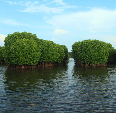
Kavvayi Backwaters
Kavvayi Backwaters is the third largest backwater in Kerala...
-
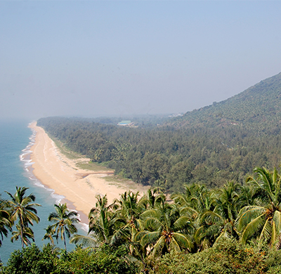
Ezhimala Beach and Hill
The sea curves around three sides of the seven peaked Ezhimala hills....
-
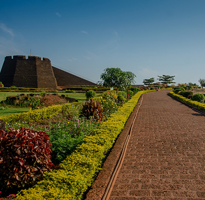
Bekal Fort
Bekal fort was not an administrative centre and does not include any pala...
-
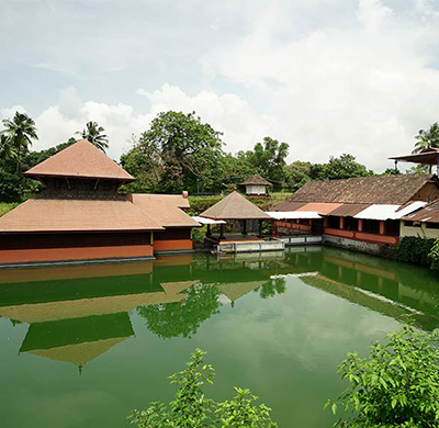
Ananthapura Lake Temple
The only lake temple in Kerala, is a picturesque temple erected in the mi...
-
Ranipuram
Ooty of Kerala offers a rip-roaring trekking experience...
-
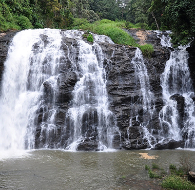
Abbey Falls
The stunning waterfall appears to be a sparkling stream of white pearls a...
-
Talakaveri
Talakaveri, the place where river Kaveri originates is situated on a hil...